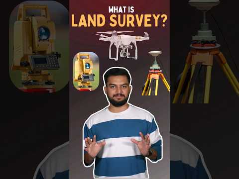
Field Data Capture Using GPS In Cadastral Surveying: A Practical Guide

📍 Transform Your Cadastral Surveys with GPS Technology! In this video, we dive into the essentials of field data capture using GPS in cadastral surveying. Learn how modern GPS tools enhance accuracy, streamline data collection, and revolutionize boundary mapping for property and land management. 📌 What You'll Learn: - The role of GPS in ...