Using Pix4D files to create terrains in Virtual Surveyor
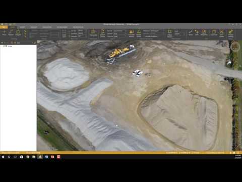
Shows which two types of files from Pix4D project folder should be used: 1. Ortho-rectified TIFF o 3_dsm_ortho2_mosaicproject_name_transparent_mosaic_group1.tif 2. DSM-TIFF o 3_dsm_ortho1_dsmproject_name_dsm.tif (Do not use the .LAS file.) (Demonstrates the creation of a terrain in Virtual Surveyor) Benefits of Virtual Surveyor • Smaller file ...