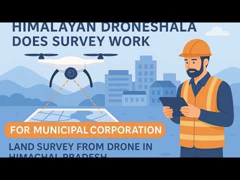
MUNICIPAL CORPORATION || HIMACHAL PRADESH || LAND SURVEY || HIMUDA || PWD || IPH
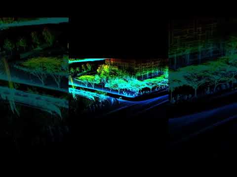
At Himalayan Droneshala, we provide services in: LiDAR and orthophoto mapping Infrastructure surveys for pipelines, overhead tanks, and distribution systems Contouring and elevation analysis for topographic planning Customized aerial solutions tailored to the needs of local and regional projects Our approach blends cutting-edge drone technology ...